Woolpert 3D Products
Bringing Quality Spatial Content and Convenience Together
Are you ready to order your Woolpert 3D Products?
Woolpert at a Glance
0
Experts Worldwide
0
Years Experience
0
International Mapping Projects
Woolpert 3D Models

Supply Area of Interest
Coverage in Brisbane, Sydney, Melbourne, Adelaide, Perth and local regions.

Fast Service from our 3D team
Woolpert provides 3D Modelling, 3D Mesh, LiDAR, Gaussian Splatting and Imagery.

Data Delivery
48-hour data delivery for off the shelf models.
Description
Use Case
3D Modelling
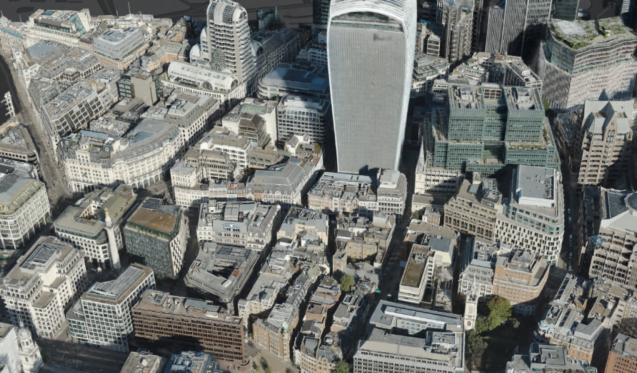
Woolpert 3D Models are spatially accurate digital representations of real-world environments, available in LOD1, LOD2, and LOD3, with textured and untextured options. Levels of Detail (LOD) define the amount of detail, accuracy, and information within a 3D model.
LOD1 - Building footprints and heights.
LOD2 - Basic roof structures, textured or untextured. Optional verandahs, bridges, and base alignment.
LOD3 - Detailed roofs, façades, and rooftop features. Textured or untextured for visualisation, analysis, and planning.
- Urban Planning & Development
- Development Applications (DA)
- Shadow & Solar Analysis
- Viewshed & Line of Sight Studies
- Digital Twins
- Asset Management
- Emergency & Resilience Planning
- Smart Cities & GIS Integration
3D Mesh
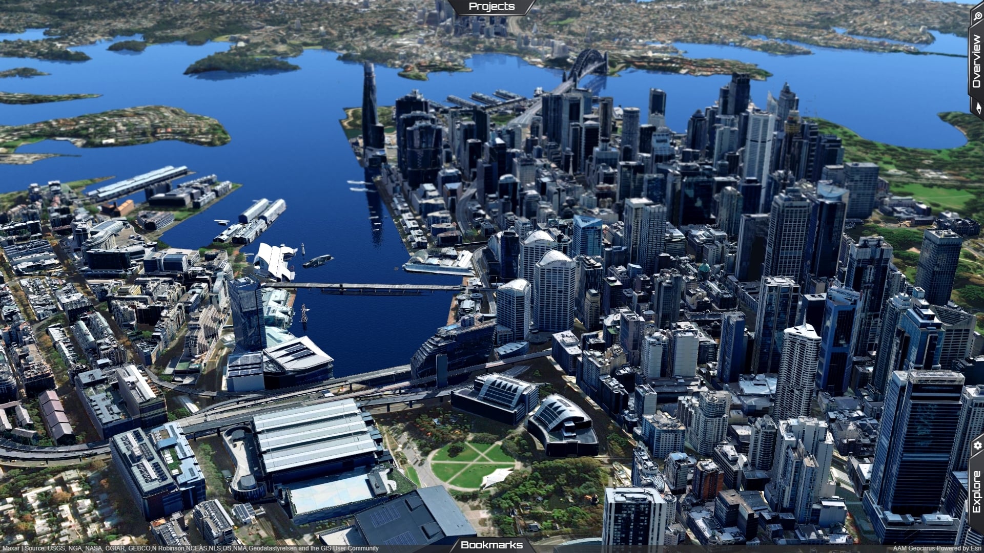
A realistic, textured 3D surface model generated from imagery and spatial data.
- Digital Twins
- Urban Planning & Development
- Visual Impact Assessments
- Immersive 3D Visualisation
LiDAR
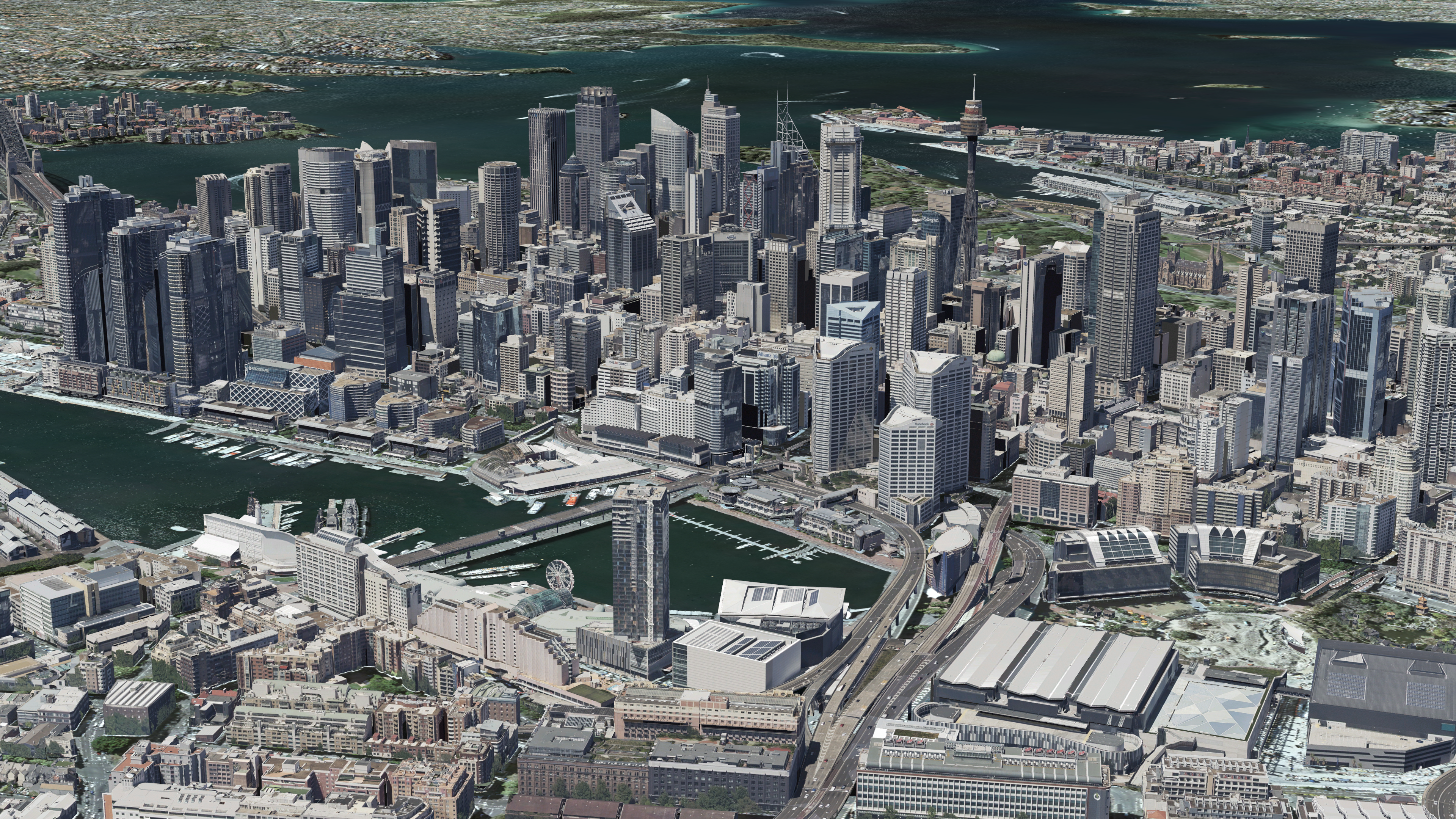
A laser scanning technology that creates a highly accurate classified point cloud of the ground, vegetation, buildings, and other features.
- Terrain & Elevation Modelling
- Flood & Drainage Analysis
- Vegetation & Canopy Mapping
- Environmental Monitoring
- Corridor & Utility Mapping

Imagery
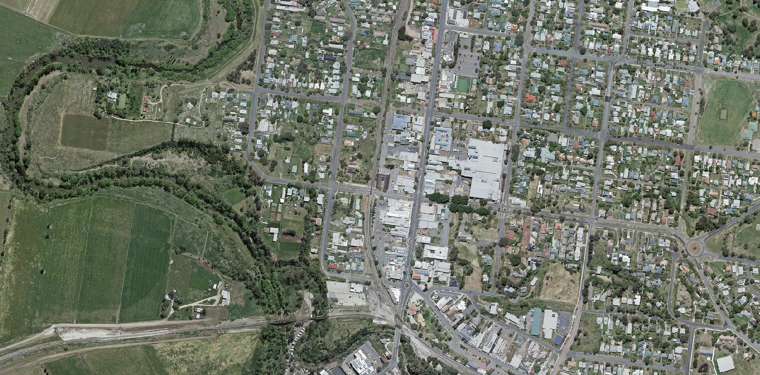
High-resolution aerial imagery delivered as orthophotos, true orthophotos, nadir, and oblique imagery, providing accurate and current visual representations of the built and natural environment.
- Asset & Infrastructure Management
- Urban Planning
- Site Analysis
- Change Detection
- Digital Twins
Gaussian Splatting
A next-generation method for rendering highly realistic 3D scenes from imagery.
- Immersive 3D Site Visualisation
- Stakeholder & Community Engagement
- Tourism & Place Promotion
- Asset Visualisation
- Training & Simulation
- Architecture & Design Reviews